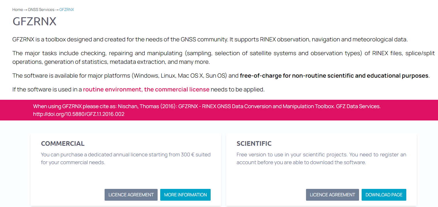
我们使用PRIDE-PPPAR软件对GNSS观测数据进行解算时,会遇到观测文件不能识别的问题。观测文件不能识别的主要原因是格式不对,可通过GNSS预处理软件进行修复。本文介绍一款由德国波兹坦地学研究中心(GFZ)开发的GNSS预处理软件GFZRNX,见下图。GFZRNX有二种授权:商业和科学,个人用户选择科学授权,下载windows版可执行文件gfzrnx_2.0.4_win10_64.exe,为方便使用将其重命名为gfzrnx.exe,放在PRIDE-PPPAR的可执行程序目录中。gfzrnx程序就可以在msys2下正常使用了。
1、深水多波束EM122配套的SeaPath330+采集的GNSS原始数据1901200054.l09重命名为1901200054.rtcm,然后将主天线(位置天线,天线1)转成rinex格式:
rinexconv.exe -r 1 1901200054.rtcm >primaryc0200.19o
Converting file 1901200054.rtcm
All files converted
2、使用PRIDE-PPPAR解算primaryc0200.19o
# pdp3 -i 1.0 primaryc0200.19O
error: illegal observation file: primaryc0200.19O
报错:非法观测文件
3、使用GFZRNX修复观测文件
#gfzrnx -finp primary0200.19o -chk > primaryc0200.19o
修复成功
4、继续PRIDE-PPPAR解算primaryc0200.19o
# pdp3 -i 1.0 primaryc0200.19O
error: no valid site name from command or observation file
:: please input site name with option ‘-n’ or ‘--site’
没有指定站名
# pdp3 -i 1.0 -n pric primaryc0200.19O
===> CheckExecutables ...
===> CheckExecutables done
:: Processing time range: 2019-01-20 00:54:41.000 <==> 2019-01-21 00:54:42.000
:: Processing interval: 1.0
:: Site name: pric
:: Positioning mode: K
:: AR switch: A
:: Configuration file: /home/Administrator/.PRIDE_PPPAR_BIN/config_template
:: RINEX observation file:
===> PrepareProducts ...
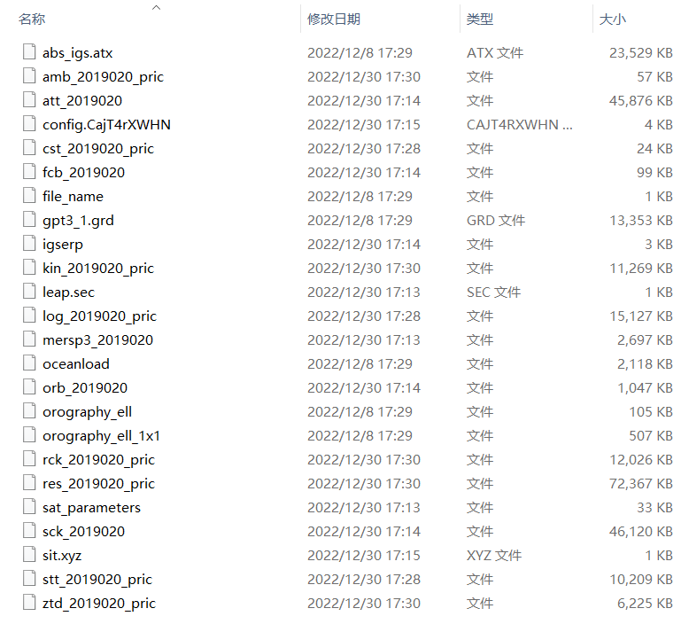
5、解算结果文件列表如下:
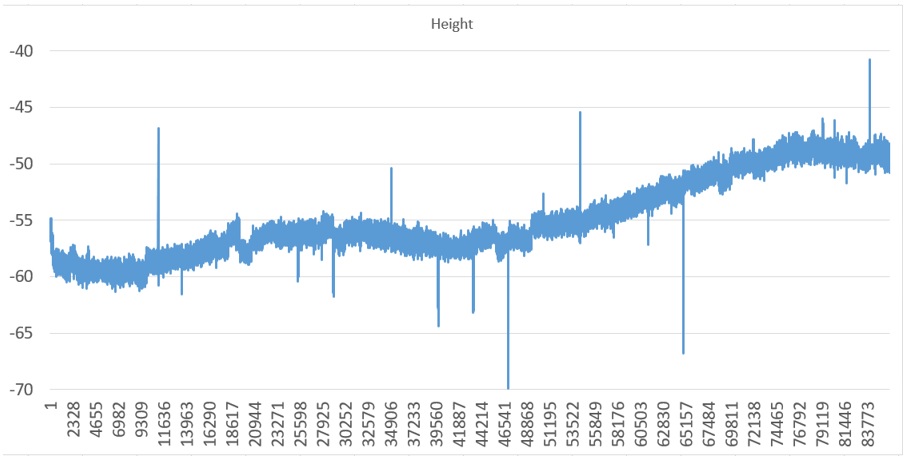
使用excel打开kin_2019020_pric文件中的Height值,得到如下曲线:
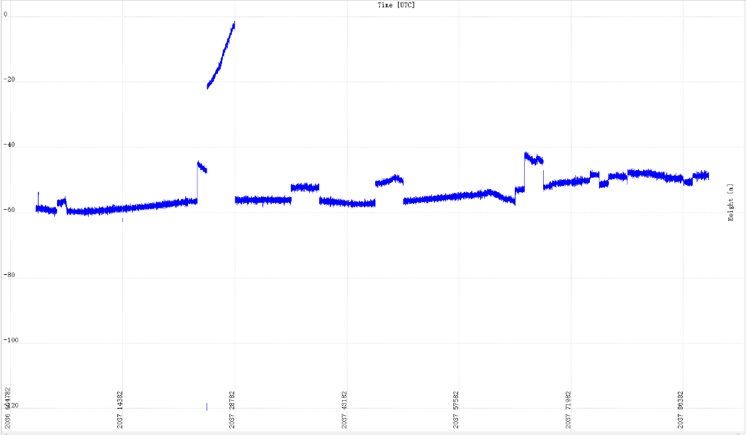
使用TerrPos解算结果如下:
从上面两个结果曲线来看,PRIDE-PPPAR的解算结果优于TerraPos。


发表评论: